Ever wondered how those incredibly detailed 3D models of landscapes or construction sites are created? Look no further than drone mapping! This innovative technology is revolutionizing the way we capture data and visualize our world.
So, what exactly is drone mapping?
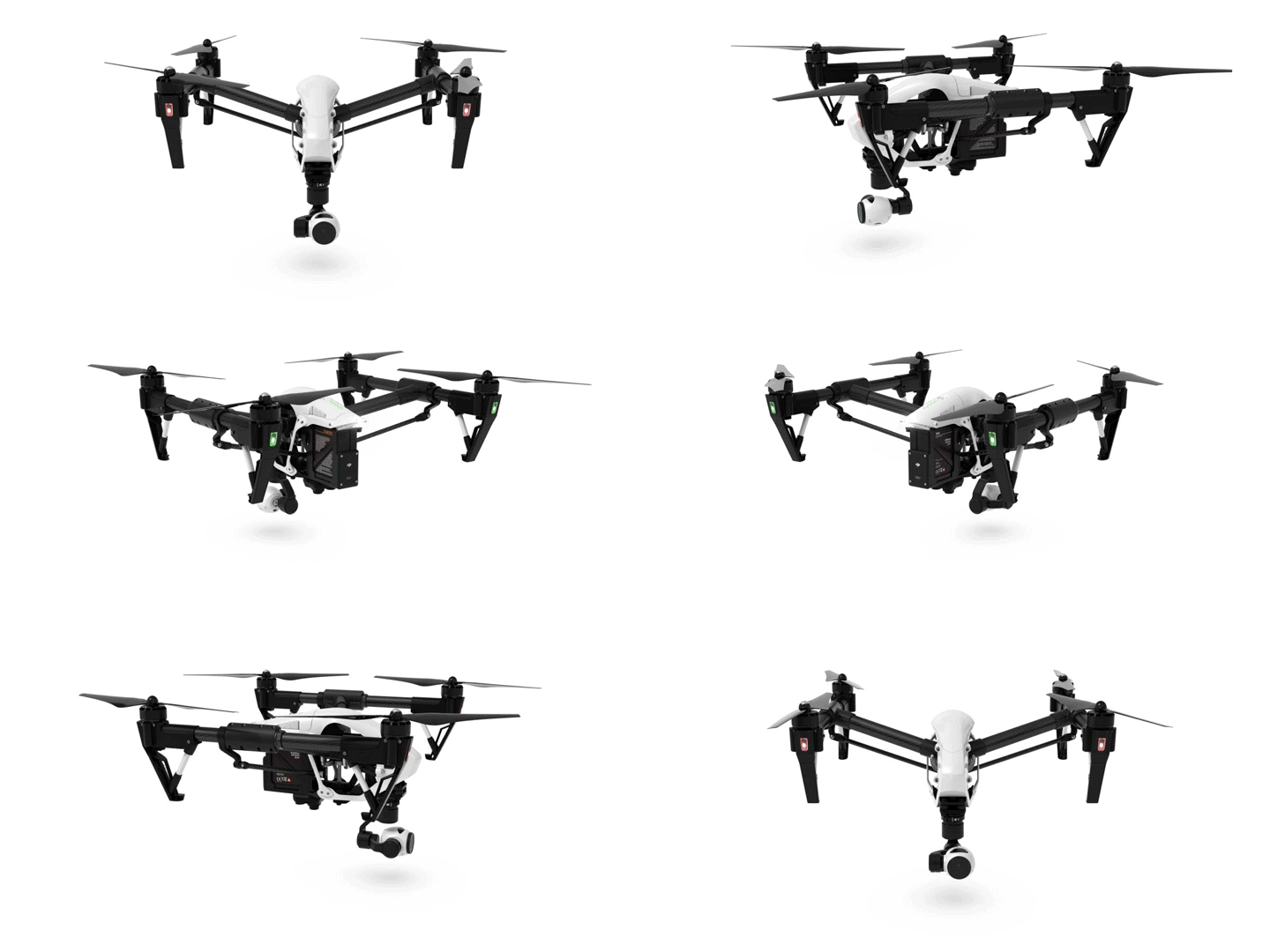
In essence, it's the use of unmanned aerial vehicles (UAVs), commonly known as drones, to collect aerial data and generate maps, 3D models, and other visual representations of an area. Imagine a high-tech bird taking pictures and measurements, feeding them into a computer program that creates a digital twin of the real world.
Here's a breakdown of the key aspects:
- Data Collection: Drones equipped with high-resolution cameras or sensors like LiDAR (Light Detection and Ranging) fly pre-programmed routes, capturing vast amounts of data from various angles.
- Photogrammetry: This magic happens behind the scenes. Specialized software takes the captured images and stitches them together, accounting for perspective and overlap. The result? A detailed and accurate 3D model of the mapped area.
Why is drone mapping so exciting?
There are several reasons why this technology is gaining traction across various industries:
- Efficiency and Safety: Compared to traditional ground surveying, drones can capture data from vast areas quickly and safely, reducing risks for personnel working in hazardous environments.
- Detailed Data: Drone mapping provides high-resolution information that would be difficult or time-consuming to obtain with traditional methods.
- Versatility: This technology has applications in numerous fields, including:
- Construction: Track site progress, calculate volumes, and monitor safety.
- Surveying and Mapping: Create accurate topographical maps and identify potential hazards.
- Agriculture: Assess crop health, monitor irrigation, and optimize yield.
- Inspection and Maintenance: Inspect infrastructure like bridges and wind turbines for damage.
- Archaeology and Research: Document historical sites and create 3D models for preservation.
The Future of Drone Mapping
As drone technology continues to evolve, we can expect even more sophisticated applications to emerge. Integration with artificial intelligence and advanced data analysis will unlock new possibilities for monitoring, planning, and decision-making across various sectors.
Ready to explore the world of drone mapping?
If this piqued your interest, keep an eye out for future articles where we delve deeper into the different applications of drone mapping and the exciting future it holds!


